Top 5 moments I totally lost it on the trail


5. July 9th 2018, Cohos Trail

“I may have had a tantrum going up Dixville peak. Pack throw down and all. Trekking poles went flying.
It may have been because first there was the steep climb out of Dixville Notch, then the ski trail up then the mud bog from hell and then another ridiculously steep climb up. And I may have let out a banshee cry because of the bugs. All in all a good day.”


4. July 18th 2007, Pacific Northwest Trail

“I finally make it to a clearing which seemed to have been used as a heli pad and am overwhelmed by the view. BEAUTIFUL! This is my camp site for the night. : )

Little did I know there was going to be a major thunderstorm. My poorly set up tent isn’t set up for this. It sags and touches my sleeping bag soaking it at the feet. I’m scared the lightning will hit me and feel the ground tremble a few times. Didn’t see this coming at all. I so wish I were camped somewhere else.

The storm goes on for hours. Just as I think it may have passed, another wave hits. The lightning is so bright! I hide my head in my sleeping bag pretending I’m not there. Needless to say I don’t sleep very well.

I do remember nodding off for a while because I dream about a bear attacking my feet. It wakes me up and I see my tent heavy with water touching my feet. I get rid of the puddle but the damage has been done.”

0191

(But the view was nice)

3. August 18th 2012, Pacific Northwest Trail

“There is a note on the map about the Swift Creek ford possibly having high water and indeed it does. It terrifies me. I scout out different spots but they’re all deeper and swifter than I’d like. To calm my nerves I tell myself that if I go down I won’t die because there aren’t any giant boulders or cascades I can get caught up on. I throw some rocks to see how deep it is in an area that seems a bit calmer. Yeah, too deep. So I walk a bit further and finally take the plunge. Heavily leaning on my trekking poles facing the current I walk sideways telling myself out loud: “You can do this, you can do this, you can do this!”. I’m so freaking scared. When I make it across safely I’m almost hyperventilating.”

PNT 261

(It doesn’t look that bad when it’s not moving)


2. May 1st 2015, Te Araroa, Raetea Forest track

“I have a long day in dense bush on an overgrown trail with one hazy view. At times the trail is hard to follow and it goes over every little summit. Very tiring. I’m not liking it at all. Vines, fallen trees, logs on trail, spider webs in my face, getting cut up by grass, steep ups and downs, a lost cow, what a jungle, what a disaster. Never again! It feels like I’m suffocating in the denseness of it all and I can only keep my nerves in check by reminding myself of the hiking times mentioned on the trail sign. It can’t take longer than that, I will make it out! When the trail finally spits me out on a forest road I’m shaking.”

IMG_4161


1.April 5th 2017, Hayduke Trail

“It’s frosty again this morning and my aqua socks are frozen. I thought about putting them in a plastic bag to keep them from freezing last night but realized I wouldn’t want to put them on this morning even if they were just wet. It took my feet hours to warm up last night, I did not want cold feet again in the morning. So I came up with the idea of putting my regular socks in gallon size ziploc bags and put my sandals on over that. It looked funny but worked great. Just a little slippery.

Bull valley gorge starts out pretty mellow and open, a bouldery wash with some pine trees. Very pretty. I read about this alternate in Wired’s journal and it sounded fun.

When the narrow section started I had already taken the ziploc baggies off my feet because it was warming up nicely. I soon regretted this decision as I had to wade through the narrows. It wasn’t deep but the water was icy cold. I had to keep stopping because my feet were getting numb. To make matters worse there were some deeper sections up to my knees and there were some challenging scrambles. I bet when everything is nice and dry these scrambles would be fun. Or when you’re out for the day with a small pack and a friend.

For me however they were quite challenging. Several times I would look at what I had to do and wonder how the hell I was going to pull it off. I would occasionally have a meltdown and a crying fit but then I would breathe, take my pack off, hoist it up to a rock or ledge and hope I wouldn’t drop it in the water on the other side. I had to use all my scrambling and some recently acquired canyoneering skills to make it through. Sure I can wedge myself between a boulder and a wall and somehow move up. No problem! Quicksand? Pffft! I must say that I surprised myself by some of the moves I was able to make. It was almost fun when I succeeded. At one point however I crawled up on a log and grabbed a rope that was attached to the wall. How awesome! A rope to hang onto! I’m almost to the top of the log using the rope to pull myself up when the rope comes lose! It was not attached where I thought it was! I lose my balance, fall off the log and land several feet below in the freezing water. Ouch! Thank goodness my backpack prevented my head from hitting the canyon wall and I come out of it with just a few bruises. Holy crap that could have been bad!

I regroup and just climb up through the waterfall instead, I’m soaked already anyways. For the exit climb out of the canyon I finally get to use the rope I’ve been carrying to haul up my pack! It’s another scramble and I don’t want to risk another fall. When I make it to the surface I am so relieved but I also feel incredibly empowered! I just did that! But let’s not do that again anytime soon.”

IMG_0403IMG_0499Picture1


IMG_8924 (2)Things to Consider when Planning a Direttissima

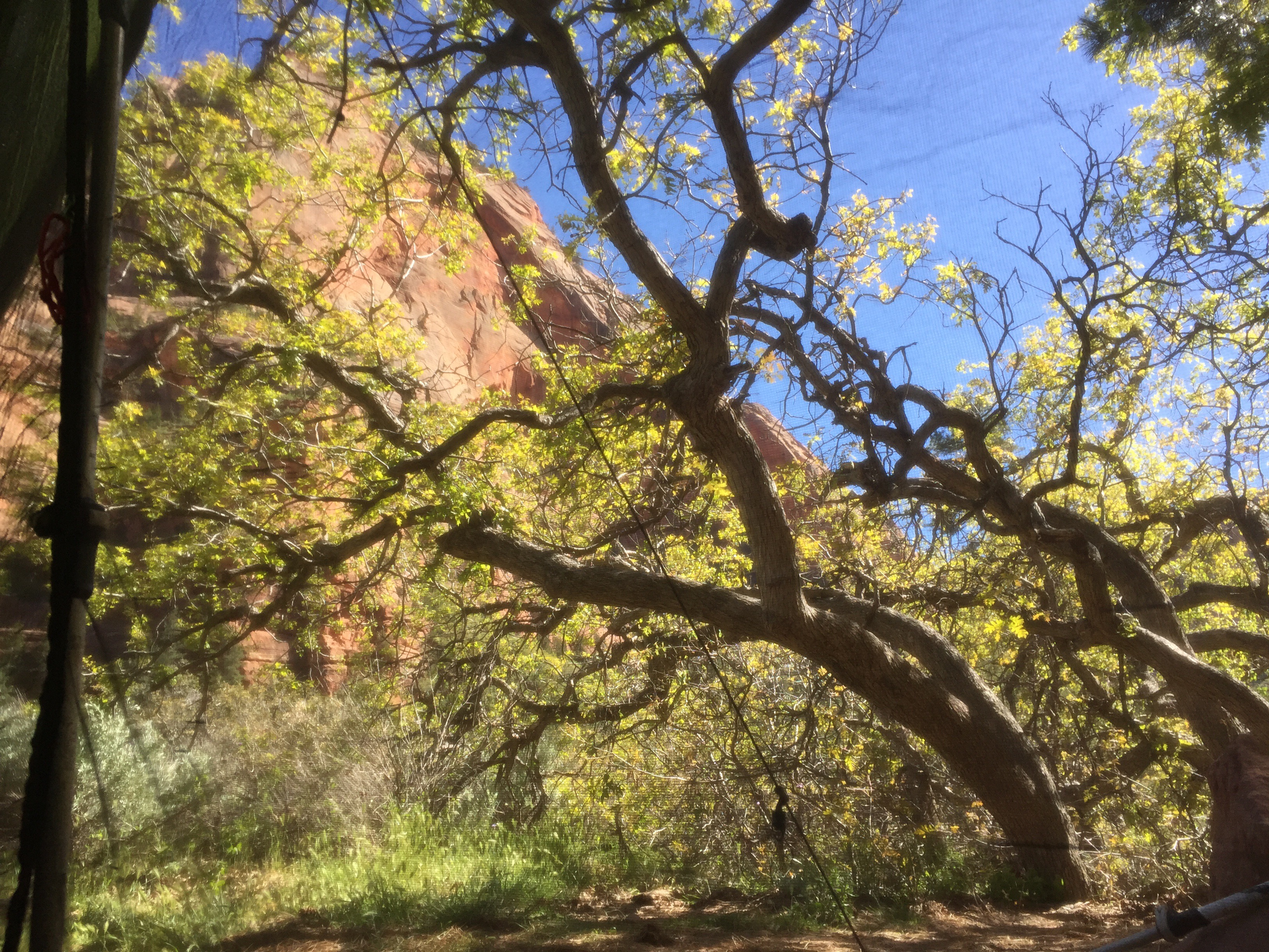
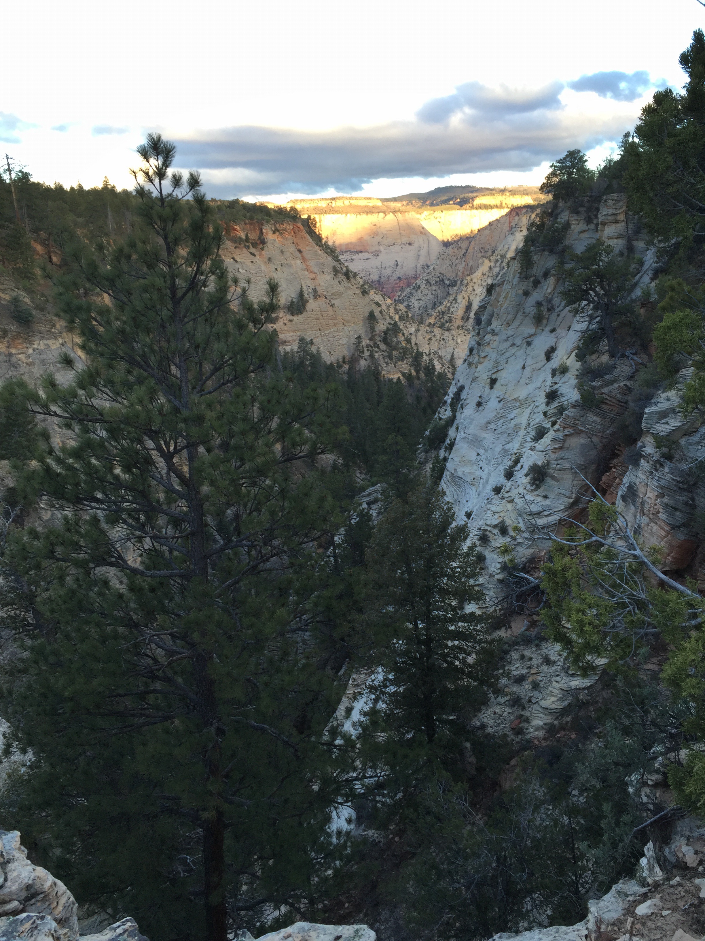
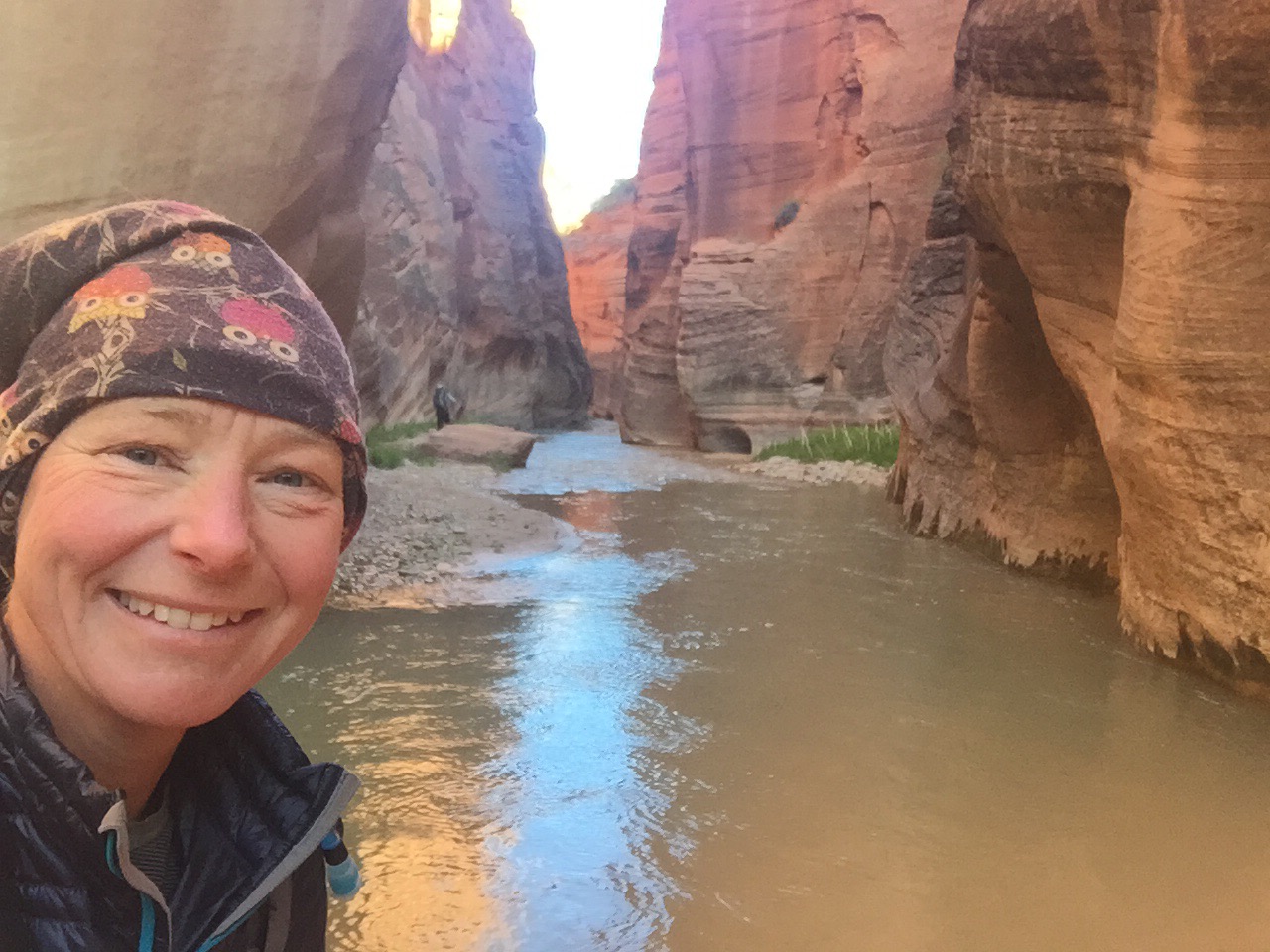
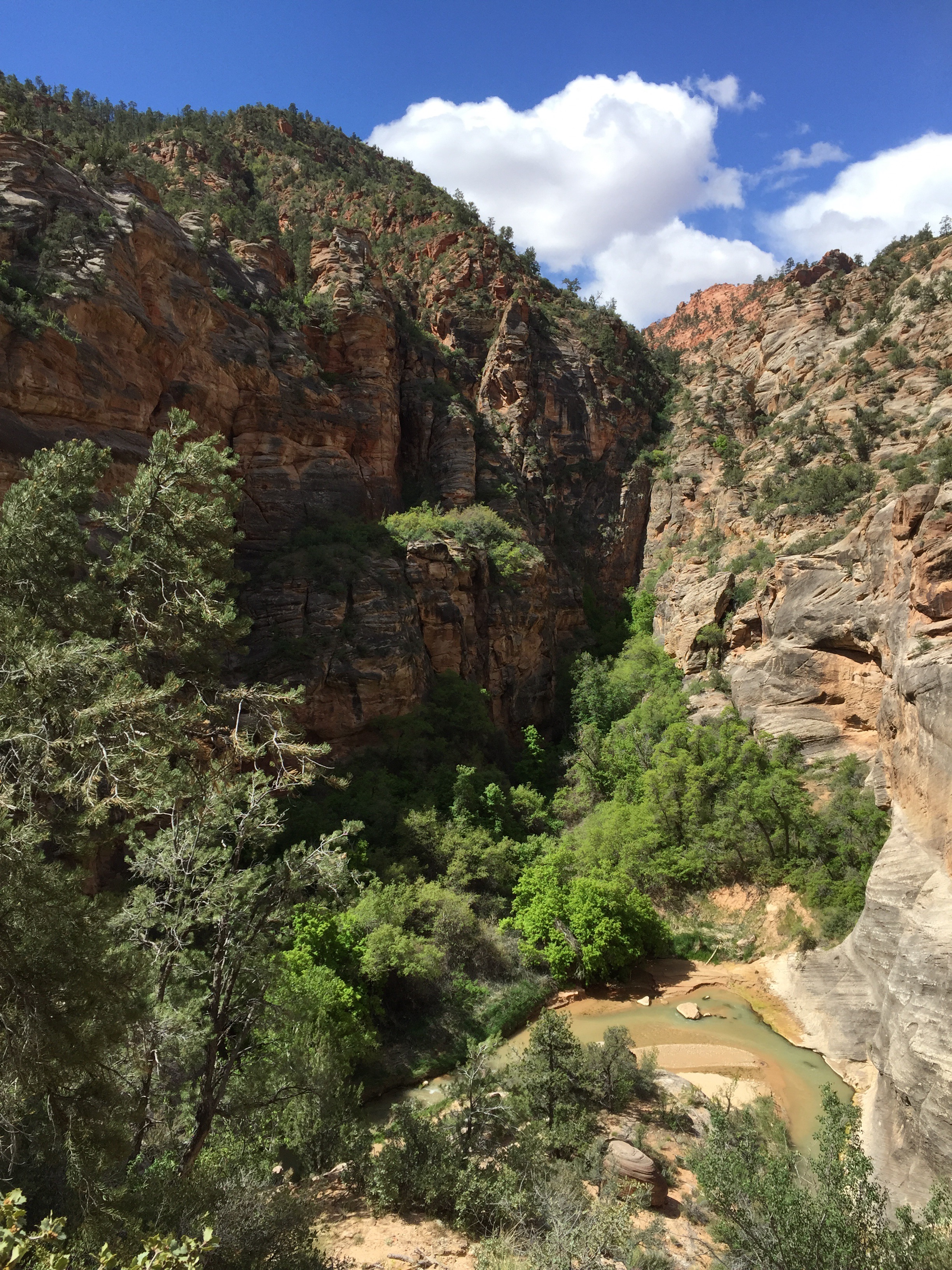
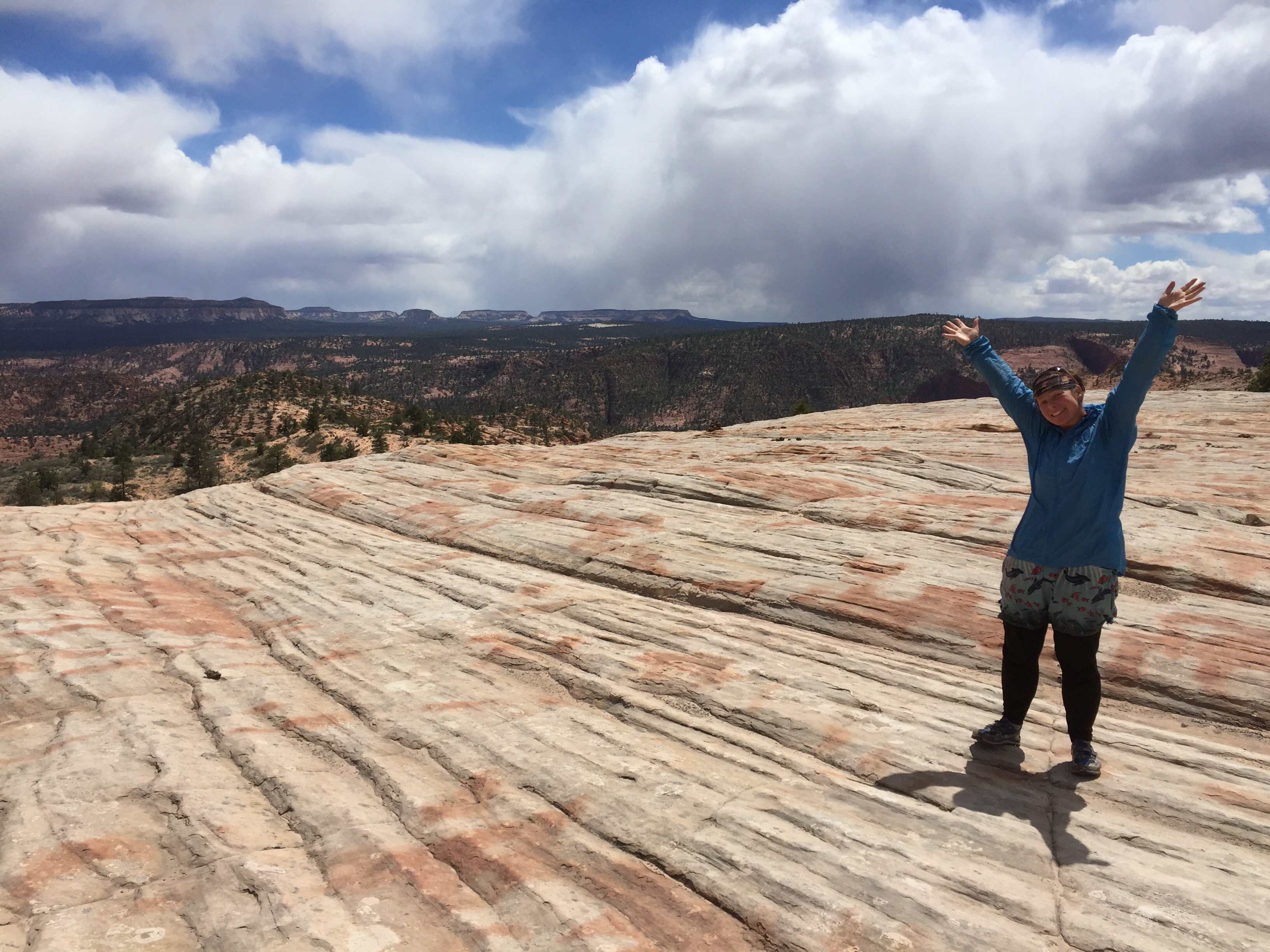
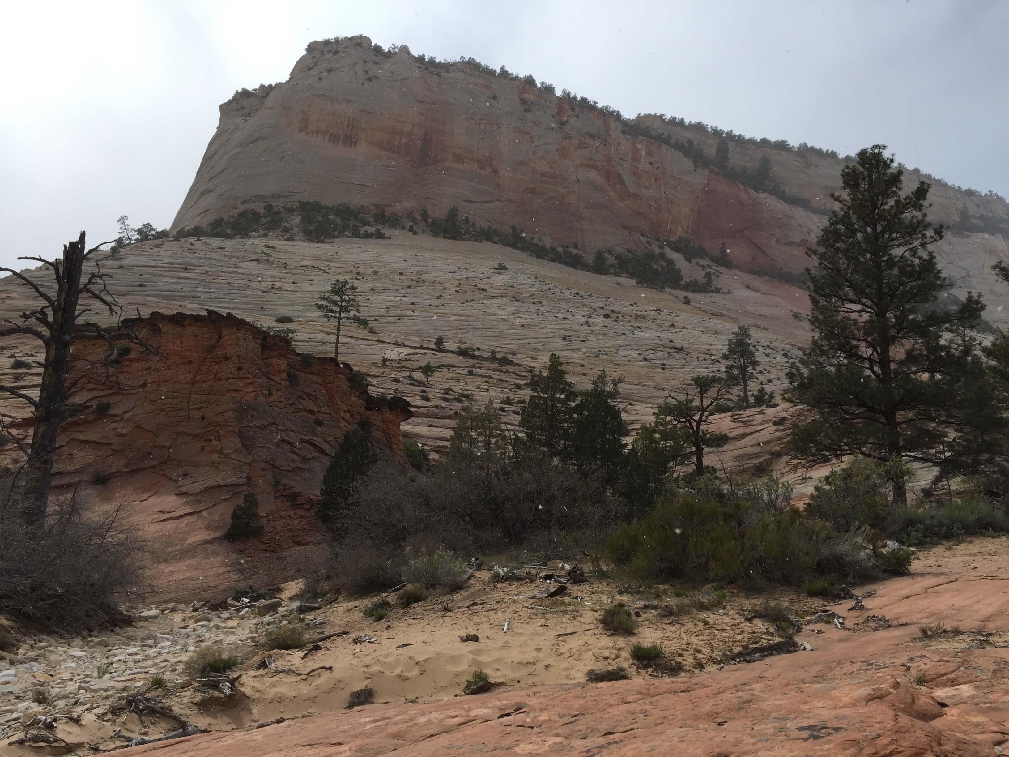
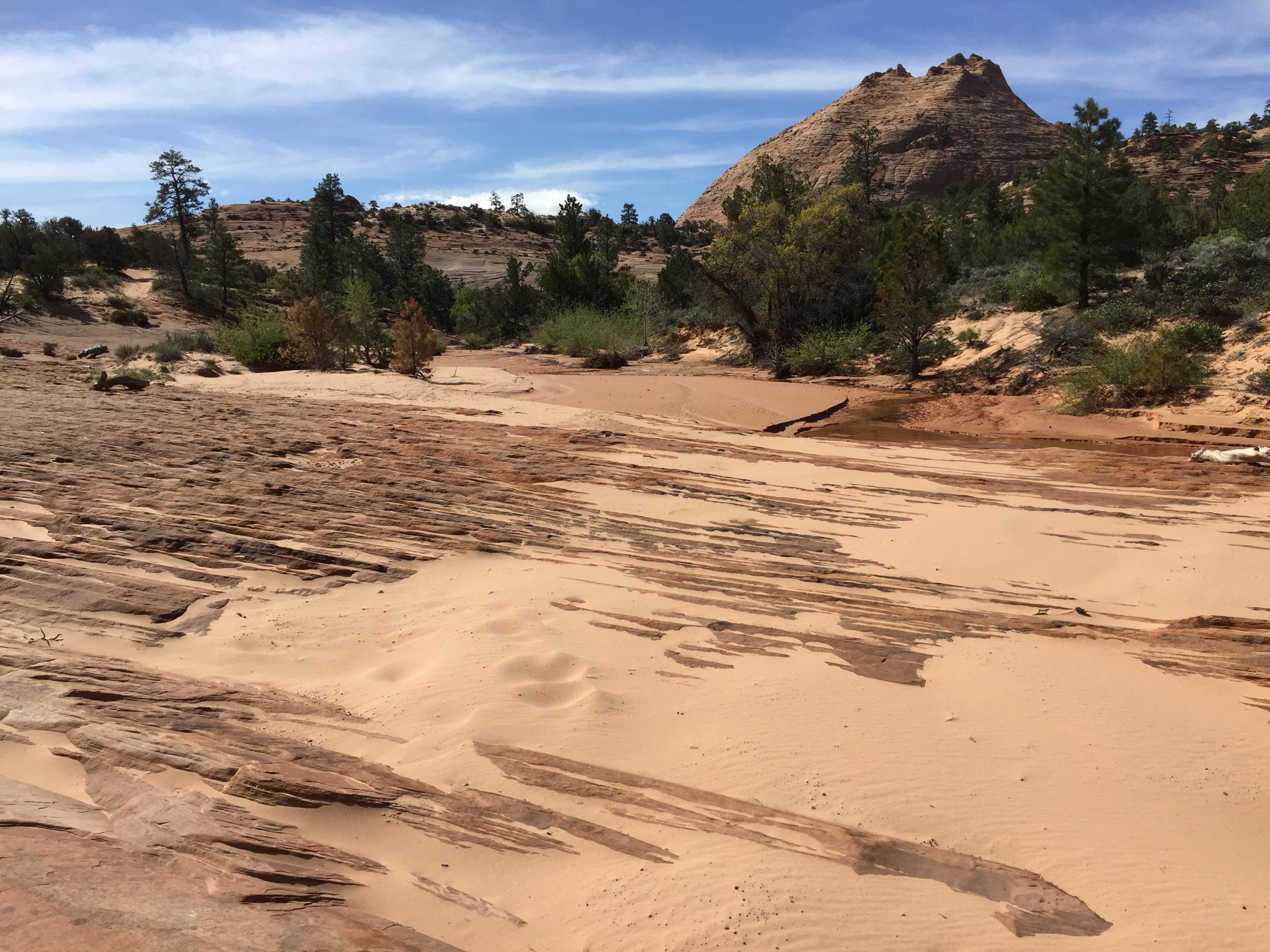
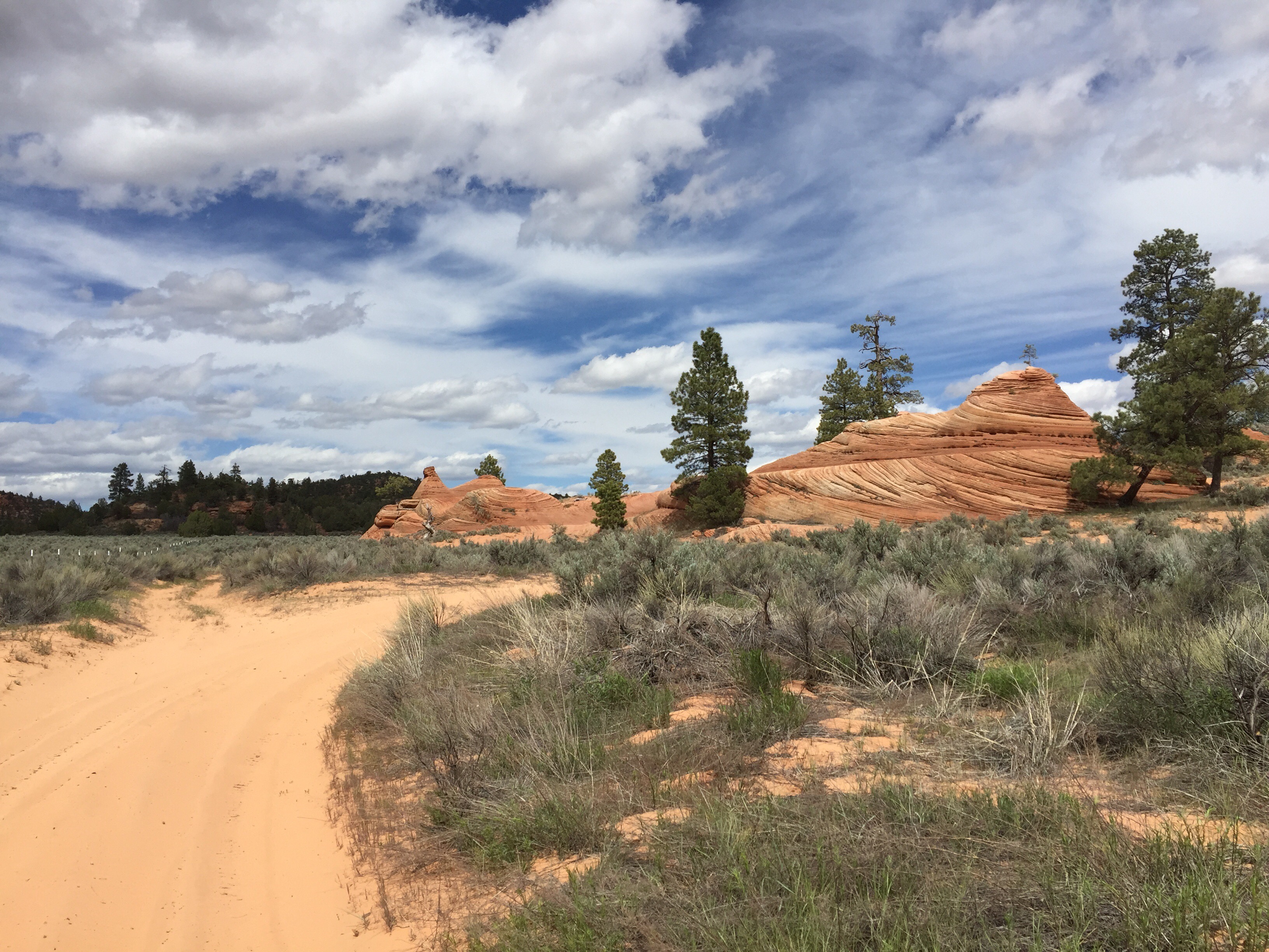
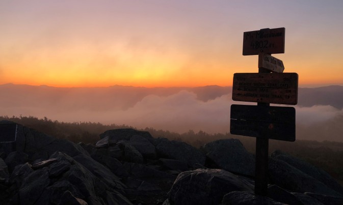
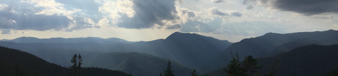
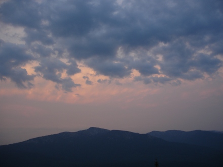
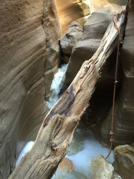
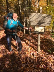
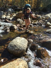
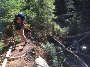
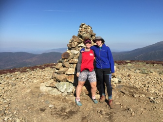
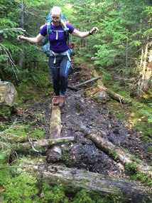
Direttissima is a climbing term that means a direct climb to a summit. For hikers in the Whites, it means tagging all 48 4000’ peaks in one contiguous journey.  Last summer I set the Women’s Fastest Known Time (FKT) for a White Mountain Direttissima completing the trek in 8 days, 23 hours, 9 minutes!

This blog answers the “Burning questions” from Liz Dooley from the New Hampshire Women’s Hiking Group.

1. Please explain “supported” vs “unsupported” regarding a Direttissima.

These are the definitions from the Fastest Known Time website:

Supported means you have a crew that meets you along the way. This can range from one person handing you water once, to an entire team that accompanies you the whole distance giving you everything (except physical assistance — FKTs are self-powered). Whether it’s just once or continuously, any support at all means it’s a Supported trip. Supported can enable the fastest trips due to the ability to carry less weight. To get a Supported FKT you also have to beat the fastest Self-Supported and Unsupported times.

Self-Supported means you may have as much support as you can manage or find along the way, but not from any pre-arranged people helping you. This can range from caching supplies in advance, purchasing supplies along the way, to finding or begging for food or water. Most long thru-hiking routes are done Self-Supported. To get a Self-Supported FKT you also have to beat the fastest Unsupported time.

Unsupported means you have no external support of any kind. This means you carry everything you need from start to finish except water from natural sources (public taps along the trail are acceptable, but if you get water from a store, even if free, that’s Self-Supported). This naturally limits the length of an Unsupported trip. If a person is accompanied or paced for any distance, it automatically becomes a Supported trip. Teams, however, can be Unsupported as long as they all travel and finish together. A mixed gender team can be Unsupported, but an individual traveling as part of such a team cannot claim an Unsupported FKT in their gender (they could claim a Supported – paced – FKT in their gender).

My summer direttissima was solo and unsupported. The winter one was with my partner and self-supported. I chose an unsupported manner since that makes it interesting for me. Otherwise it’s just a regular backpacking trip. Making it a fastest known time goal makes it’s a challenge. 

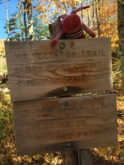
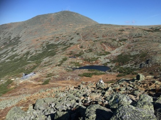
2. How do you approach route planning? Is there a preferred starting point? Is there a specific order for the peaks that is more successful? Do you aim to get tougher peaks out of the way first? How do you address mileage versus elevation?

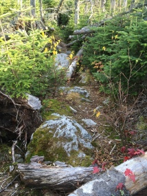
For a regular (not winter) Direttissima there are usually two preferred starting points. Either start at Moosilauke or Cabot. If you start at Cabot you have to tackle a long roadwalk in your first 30 miles which can cause blistering on the feet. Then you have to traverse the northern Presidentials with your pack still full of food. But doing this section with nice cushy new shoes first is a plus, and you get to finish on Moosilauke which is very satisfying.
Starting at Moosilauke may be an easier start but you have to climb down the Beaver brook trail with a full pack (although most seem to do it as an out and back with a small pack, not me) and you end up hiking the northern Presidentials when you’re pretty sleep deprived. The road walk towards Waumbek can be terrible if your shoes are starting to fail. I also don’t wish the Kilkenny ridge trail on anyone for the last day. But Kinsman ridge may feel the same way in the other direction.
Psychologically I like to start with Moose because I like that mountain and it also means I get Owls Head over with earlier in the hike. I mostly don’t like Owls Head because it’s so far out of the way. Same with Hale. It’s a mental thing.
The current men’s fastest unsupported time took a different approach. He started at Passaconaway, added a long roadwalk to Moose and bushwhacked from the Hancocks to Carrigain.
There are a few variations along the route on how to get to Owls Head and Hale and Andrew Drummond for example included a lot of out and backs so he could trail run with a small pack and minimize having to travel with his overnight gear. My approach is the opposite, I prefer a more direct line, hate out and backs, and I don’t run.

3. How do you track your mileage? What device do you depend on to prove your time? What about GPS?

I have an ideal plan on paper which is based on how many days I hope to do it in. So I know ideally where I want to sleep every night. The hikes usually don’t follow the plan exactly but it gives me an idea on how I’m doing in regards to my goal. At the end of the day I calculate how much I’ve done by using the route planning feature on the Guthook White Mountains app. (in 2014 I would just use my paper map for that). I tracked my hikes with a Garmin Inreach and used the Guthook app to stay on trail in the dark and fog in the Presidentials when it was hard to see.

4. How do you track weather before you depart and while on trail?

My husband loves the weather so he actually told me that a good stretch of weather was coming up. Being self employed and not having any guiding trips planned I could take advantage of that and just go. While on trail nowadays you can pull up a weather forecast on your phone but it usually doesn’t mean much to me and most of the time I don’t bother. If you’re going for a fastest known time you have to keep on hiking if you can. And if conditions turn out to be unsafe you have to make a decision to set up camp and/or bail out to a lower less exposed location in that moment. The heavy fog and wind gusts I experienced in the northern Presidentials were not predicted for the time I was going to be up there. You just deal with it and hope for the best.

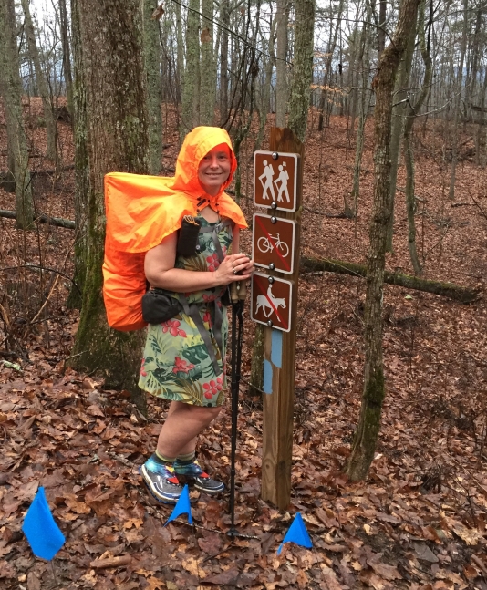
5. What clothes wear you wearing the day you departed? How do you layer?

Clothing
Lightheart gear hiking dress
Spandits spandex shorts
Long johns
Ibex long sleeve baselayer
Melanzana fleece hoodie
Merino wool hat
TrailHeads convertible gloves
2 Pairs Injinji socks
1 Pair Darn Tough socks
Sunday Afternoon visor
Dirty Girl gaiters
Owl buff
Lightheart gear rainjacket
Lightheart gear pack cover hoodie
ULA rain skirt

Shoes
Altra Lone Peak 4

I mostly hiked in the dress and spandex shorts. And layered over them as needed. During the monsoon afternoon/evening I hiked in my spandex shorts and bra with my rainjacket and pack cover hoodie over it. This layering kept me warm enough without drenching my other clothes which were stowed away. Even the best rain jacket would have eventually gotten saturated. Getting wet is okay as long as you are warm enough.

FZNA6270

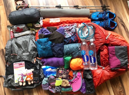
6. For your first attempt in 2014, your pack weighed almost 40lbs. In October 2019 you set out with your pack weighing just under 30lbs (including 13lbs of food). How did you cut that 10lbs of weight? What else did you change based on your previous experience.

I saved a few pounds from switching from a Granite Gear backpack to the Gossamer Gear Kumo. It was definitely top heavy in the first few days but it was totally worth it.
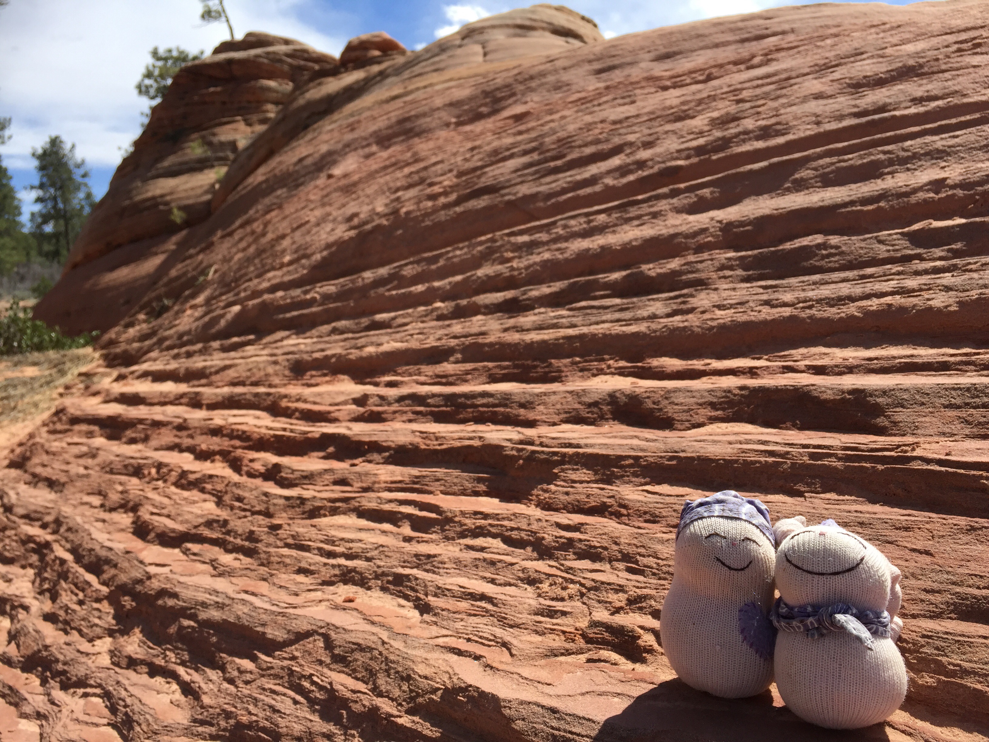
I also ditched the stove, pot and fuel. Cooking took too much time and I like crackers and cheese for dinner. With not cooking, I ditched the heavy pasta I carried the first time. I also carried less bagels. I also carried two beanie baby Monkeys which were replaced with feather light sock dolls. ; )

Backpack
Gossamer Gear Camo Kumo

Shelter
Gossamer Gear The One
Various stakes (10)

Sleeping System
Gossamer Gear Thinlight Foam Pad 1/8″
Therma Rest Pro Lite plus X-Small
Nemo inflatable pillow
Montbell Downhugger #1 800

Miscellaneous
1 Liter Platypus plus hose
2 Smart water bottles
Titanium spork
First Aid kit + Shoe goo
2 Anker Batteries plus 2 power cords
Inreach
2 Head lamps Petzl + Black Diamond
12 extra batteries + 3 in one of the headlamps
I Phone 7
Leki Trekking poles
Tooth brush + Diva Cup
Toilet paper
White Mountain Map by Map Adventures
Compass
Gossamer Gear Quicksack
Sunglasses

2014                                                         2019

7. Describe your approach to food and water. What was included in that 13lbs of food? Do you worry about going hungry? Thirsty? How do you stay hydrated?? Do you know if you are dehydrated?

I’ve done so much backpacking that I have a decent handle on what I eat although I do tend to over pack sometimes on long distance hikes when the hiker hunger kicks in. Having just finished two weeks of backpacking I knew exactly what to pack and it worked out pretty well. I go with a light breakfast like Belvita cookies, a light snack and a bar between breakfast and lunch, cheese and crackers for lunch, one bar, dinner. I have some floating snacks I can munch on throughout the hike, like potato chips, a bag of M&M’s, jar of Nutella. My favorite was fully cooked bacon with potato chips wrapped in a tortilla. I had packed supposedly for 10 days but my food was almost gone when I finished. The long days required more bars and those were all eaten by the end. I’m pretty good with staying hydrated. I added Nuun tablets to my water once or twice a day.

8. Do you plan for sleeping breaks, or just hope you find a safe spot to lay down your sleeping pad? You described in your blog post that you napped for a few minutes on the trail at times. How does that work?

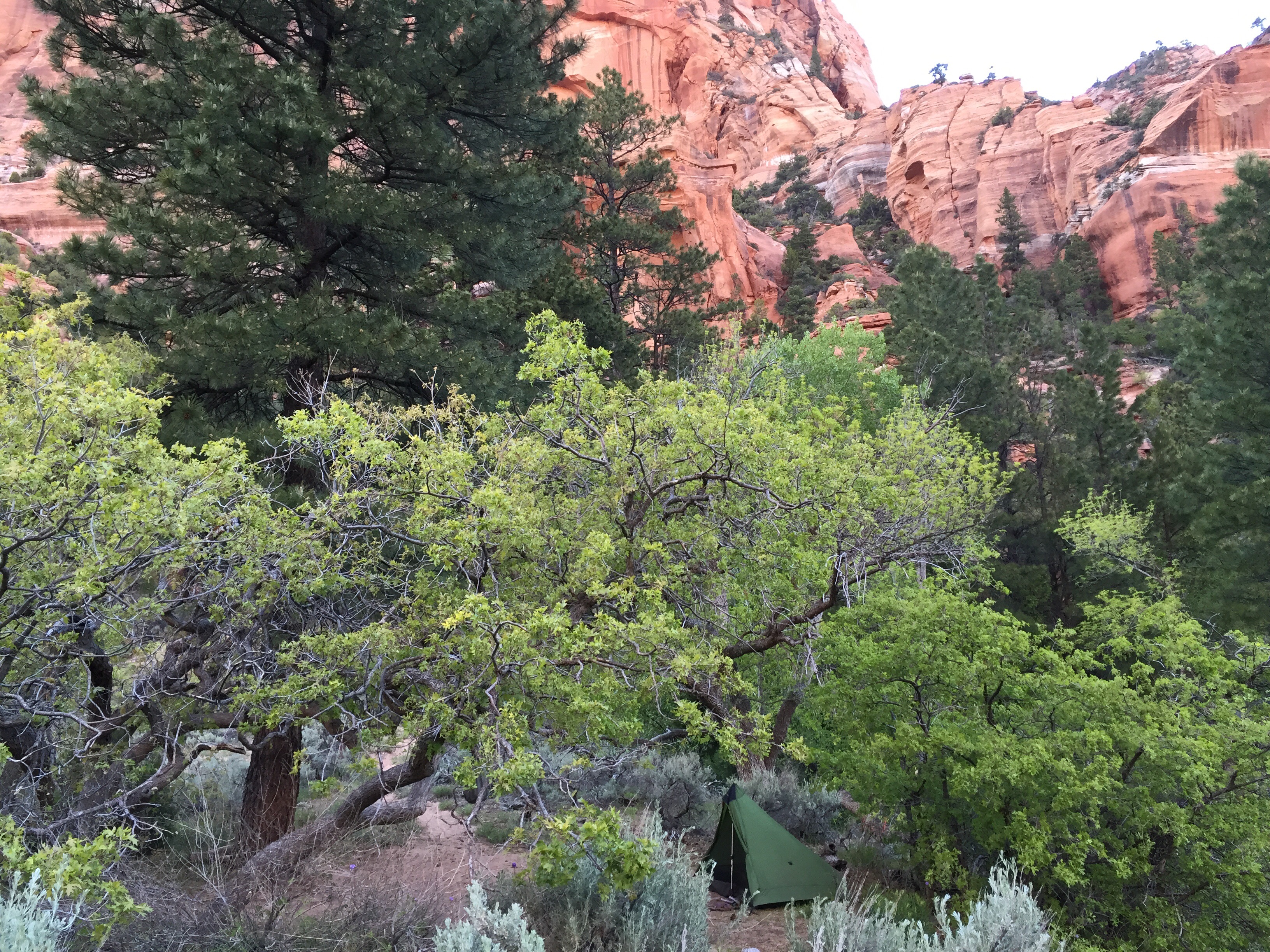
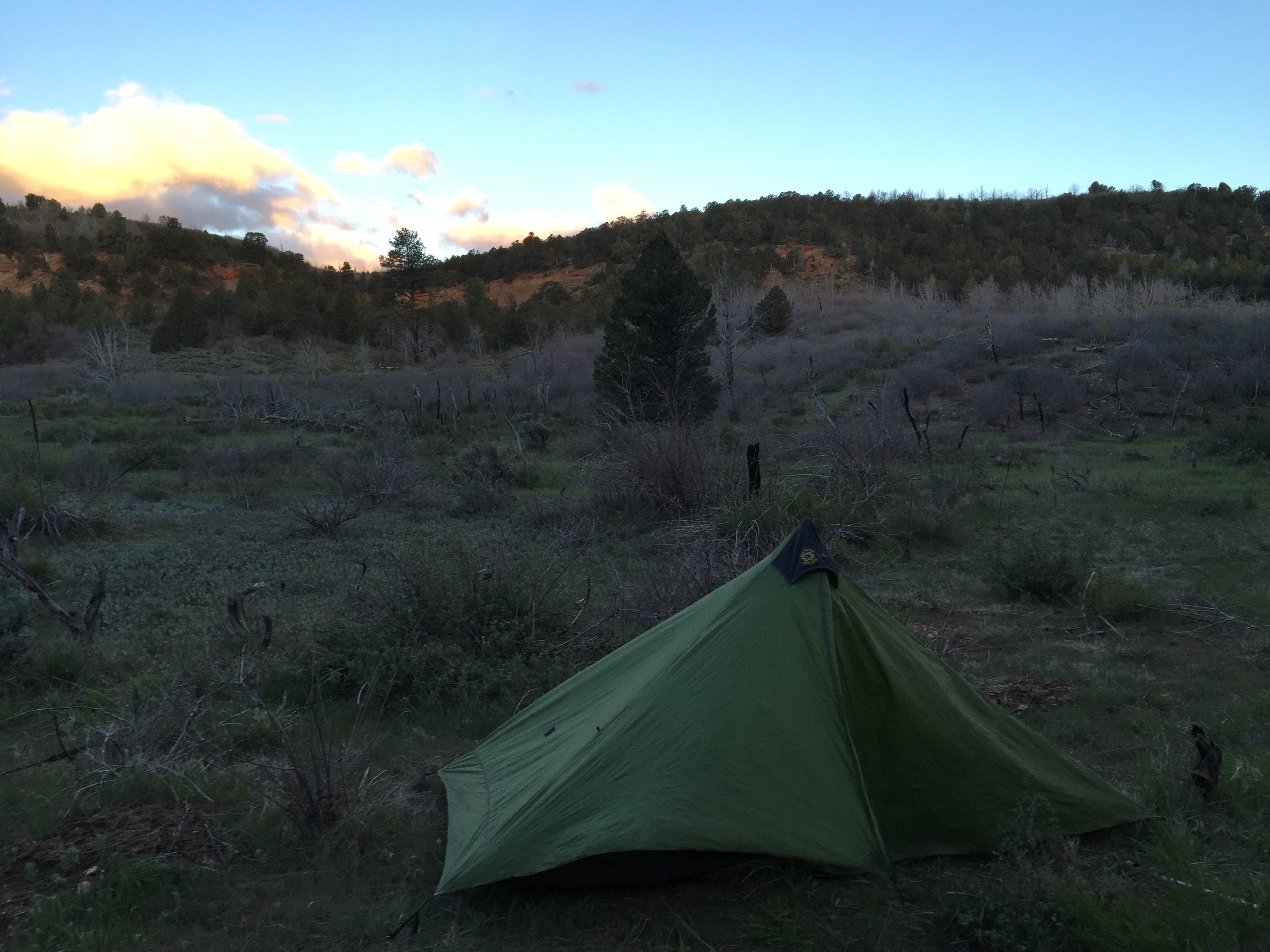
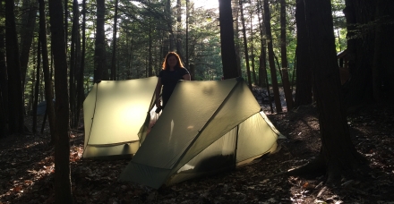
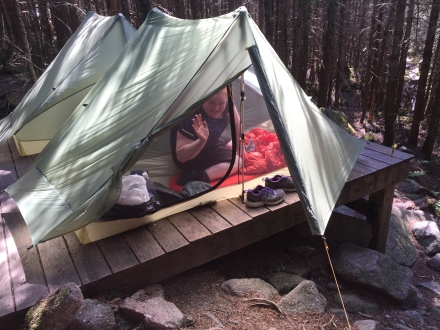
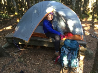
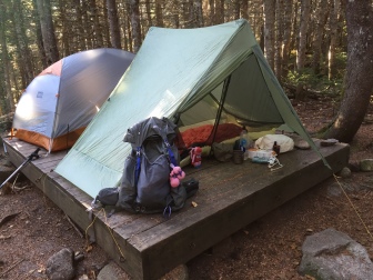
In the morning I had an idea of how far I wanted to make it based on miles but also on where I think there would be a good spot to sleep. Sometimes I made it, sometimes I didn’t. But if I was close that was a good mental boost. I would basically keep walking until I got so slow and tired that it didn’t make sense for me to keep going. For the night or a nap,  I would just find a semi flat area to lay down a pad and sleep. I only set up my tent once and that was because it was raining. I wasn’t camping, I was just sleeping. I only needed a spot that fit my body and wasn’t too slanted.

9. How do you prepare mentally for the toughness of a Direttissima? What gave you an edge last August?

I did better this time around because I knew the route and I’m more used to the terrain. You just have to be stubborn, know how to pace yourself and hope for the best. The first time I did it was to test how far I could push myself. I made a bunch of wrong turns that time, stopped early one foggy day because I wasn’t as familiar with the terrain as I am now and did some other stuff that cost me time. This time I had the knowledge and the experience to improve.

10. Do you have a bail-out plan in case of an injury or adverse weather event?

Not particularly but I know most of the trails and tent sites/shelters and huts in the Whites so I know my bailouts by heart. I did have an Inreach and cell phone with me.

11. Speaking of weather, is there an ideal time of year to attempt a Direttissima?

It depends. If you can deal with heat and humidity summer would be good. There is more daylight then too. I hate the heat and humidity so a little later is better for me. Early October may still be okay but you don’t want to get caught in early snowstorms and strong winds. Spring could be tough with some of the water crossings and possible lingering snow. Winter?  I don’t recommend it. Hahaha

12. Anything you would have changed in retrospect? Any big “takeaways”?

Bring more batteries. Haha. I surprised myself by doing it in just under 9 days. I didn’t think I could with me not being a particularly fast hiker compared to those who just run up mountains. So that was cool.

13. Do you have a “luxury item” in your pack that you cannot hike without?

I had my little sock dolls which was fun and they don’t weight much. I also recently added a little inflatable pillow which was super nice.

14. For those of us trying to challenge ourselves with longer and/or more difficult hikes, do you have any pointers for how to get to the next level?

Just set a goal and work your way up to it. If it’s conditioning, just push yourself a bit more each time. If it’s something you don’t have the skills or knowledge for, read up on it, take a class or find someone to go with who is more experienced or up for an adventure to figure things out along the way.


How to set up a non free standing tent on a tent platform

img_0158.jpg

I love my tent, I love sleeping in the dirt. But in the White Mountains National Forest of New Hampshire you can’t just set up your tent anywhere. The (sub) alpine environment is fragile and rough so established sites have wooden tent platforms. For years I dreaded using the those platforms. How was I going to set up my non free standing tent? Normally I use ten tent stakes to get a taut pitch so I had my doubts I could pull it off. 

Last fall I had a trip planned to Nauman tent site for Redline Guiding near the Mizpah hut in the Presidential range so I had to bite the bullet. We arrived early and had plenty of time to figure it out. What I learned then came in handy last month when I backpacked with my niece and stayed at Kinsman pond, Liberty Springs, Garfield, Guyot and Nauman tent sites ($10 fee per person, discount available for AT thru hikers, ask the care taker).  All of these have wooden tent platforms and by the end of the trip we were pros at using them to get a good set up.

I’ve written down a few tips and included photos to share what I learned. If you have anything to add feel free to leave a comment. 

-You will often be asked to share a platform since space can be limited. It is okay to use the dirt around the platform to stake out your fly or guy lines ( I asked the caretaker). 


-Instead of using stakes to secure your tent you can use small sticks, rocks, or the metal rings on the side of the platform. Sometimes a triangular stake or thicker round stake will fit, skinny titanium ones won’t work. 

img_0704.jpg

-The biggest challenge for us was to get the back end taut enough. This didn’t always work because of limited space but we were able to secure the guy lines using sticks and rocks so the tent was secure even if the fly wasn’t tight. 

-The toughest set up was when we had to share a larger platform with two other tents with guys we’d never met before. Be patient, be friendly and share anchors and possibly stakes, it’ll all work out. We didn’t get the best set up but I could have tightened it up a bit if it had rained. 

img_0839.jpg

Dirt will always have my preference but the terrain in the Whites is fragile and challenging and now that I know I can get a good setup I no longer dread the platforms. And as a bonus there are usually bear boxes, privvies and a good water source! It beats having to dig a hole early in the morning. ; )

IMG_0711

PS The tents we use are ‘The One’ by Gossamer Gear. (I believe they are currently sold out but should be back in stock mid August). 

http://www.Gossamergear.com 

Clothing review time!

Lightheart gear has come out with some women specific clothing that I’ve been happy to try out. I received a skirt and shirt for testing and feedback and when the first dress came out I purchased it. I also tested the pack cover hoodie.

What I liked about the shirt:

-The material feels like butter when you wear it. It’s soft and stretchy, and has some merino wool in it so it retains warmth well and smells less.

-The sleeves and torso are long and roomy. The shirt almost covered my entire butt so it didn’t ride up and leave my back exposed. The sleeves have thumb holes. The thickness of the material is great for shoulder season, warmth wise in between a thin base layer and a thin fleece. These pictures are from late January at Blood mtn and the Smokies. I used it as my base layer and would layer a fleece and a down jacket over it when it got really cold.

What I didn’t like:

-Only downside I can think of would be the price, at $65 it’s not cheap. But it is made in the US by a small business catering to women of all sizes (it goes up to 3X). And I’ve worn it several 100 miles without noticing any wear or tear so in my opinion it’s worth it.


What I liked about the skirt:

-It’s made out of light quick drying material.

-It has lots of pockets! I was able to stash my hat and gloves in the large cargo pockets which was great for winter when I would heat up or cool down. You could also put snacks in them or maps! It has six pockets total, the smaller ones can still fit loads of stuff like your cell phone or wallet.

-It’s flared so you can hike and scramble without a problem.

What I didn’t like:

-The snap/zip closure. This is a personal preference. I never wear anything that’s tight in my waist and my backpack hipbelt pushes up my belly fat (oh yay!) so the snap was a little uncomfortable. I should have probably gone up a size but in general I prefer elastic waistbands.

-The price is high. I understand why, especially with all the details and how functional it is but it’s up there.

Now on to my favorite, the dress!

What I like about the dress:

-I seriously love everything about it. It’s made out of lightweight stretch material so it dries quickly and is comfortable to wear. The only downside to this material/cut is that it will show your belly fat if you have any. I have plenty at the moment so when I tighten my hipbelt it shows. I don’t really care but some people are self conscious about it.  The material is slightly heavier than some of the rayon dresses I’ve worn before but it holds up much better. After 350 miles I have only a little rough spot on the side from where my pack straps rub near my hip. No holes yet even though I got it caught on branches several times. I managed to undo some of the bottom seam by hiking some extremely overgrown trails but that’s it.

-The skirt is flared and provides plenty of room for hiking and scrambling. The shoulder straps are wide to accommodate the backpack straps.

What I don’t like about the dress:

-Nothing. And at $35 it’s totally affordable.

Last but not least, the pack cover hoodie:

What I like about it:

-It keeps my head and shoulders dry in light rain when it’s just too hot to wear a rain jacket. I imagine it will also be great to layer over a rain jacket for serious winter hiking. It would cover that gap in your neck where the snow always dumps from the trees and keep the jacket from saturating. I chose the orange on purpose for possible hunting season hiking but there are many more colors to choose from.

What I didn’t like:

-When my pack was full the snap closure at my neck was a little tight but I believe that’s been redesigned to allow more room.

-It is heavier than just a pack cover but I like the versatility it offers especially combined with an umbrella.

img_7426.jpg

PS: There is now also a dress with pockets. It’s made out of a slightly thicker material so the pockets won’t sag but otherwise fits about the same as mine. It’s on my wish list.

Their website is http://www.lightheartgear.com


Braving the wilderness trails

A while back my talented weaver friend Jean told me about her adventurous daughter Anne and how she would love for me to meet her. Now that I’m working as a guide with Redline Guiding she came up with the idea of giving her a guided trip as a birthday gift. What an awesome mom!

I asked Anne what she wanted out of the trip and she mentioned that she had heard people talking about the challenging wilderness trails in the Whites. She wanted to explore those but didn’t feel confident enough to do so by herself. I immediately thought she would love the Dry River wilderness. I actually hadn’t hiked the trails in there yet when I came up with the idea so as soon as I could I planned a long day hike to explore the loop I wanted to hike with her. That day was challenging and wet with threatening thunder storms. How different this weekend was! Beautiful weather, a leisurely pace, and lots of laughter.

Day one started at the Dry river trailhead, we would follow the Dry river trail to Nauman tent site taking the Mt Clinton trail up. Along the way the trail was often obscured by fallen leaves and since there were no blazes to follow I would point out what to look for when you’re not sure where the trail goes. Various signs of human impact would give it away. Anne quickly learned what to look for, a great skill to have.

IMG_4191  IMG_4195  IMG_4197 IMG_4194  IMG_4190   IMG_4199

At nauman camp site we found a platform in the back to set up our tents. I figured we would get there with plenty of day light left so I finally mustered up the courage to bring my single wall non free standing tent which normally needs ten stakes for a taut set up. Anne’s tent had a few more tent poles but also needed to be staked out. The strong gusts gave us an extra challenge but we both eventually figured out how to set up our tents securely. Success!! I was quite surprised how useful those metal rings on the side of the platform turned out to be. After dinner we enjoyed some reading in our sleeping bags. Having hiked in shorts and t-shirts most of the day we were now wearing most of our layers. We sure were glad we brought our hats and gloves.

IMG_4203 IMG_4202

Day two had us pack up and stop by the Mizpah hut to scoop up some of the breakfast leftovers. Free pancakes? Well, if you insist…

We then proceeded to climb up to Mt Pierce. It was another beautiful day and the views were great. While I was trying to take a picture of my mascotte ‘Red’, Anne was striking an excellent ‘look at me on top of the mountain pose’ effectively upstaging Red. There were no hard feelings.

IMG_4211

We continued on to Mt Eisenhower with the beautiful new cairn. We were now catching some of the predicted wind force and didn’t linger. On to Franklin and Monroe we went! Monroe was a fun extra for Anne since she’s working on summiting all of the NH48 4000 footers list and this one would be number 30 on her list. Congrats Anne!

IMG_4229  IMG_4226

IMG_4240   IMG_4236

At the Lakes of the Clouds hut we found a protected spot and enjoyed our lunch. I also did a brief map and compass overview. Topo lines, magnetic north, all that good stuff.

We then headed down back in to the Dry River wilderness. The trail got slightly more challenging with some rock scrambling and muddy sections and one or two confusing spots. Excellent training for Anne.

IMG_4246  IMG_4256  IMG_4248IMG_4253

We both loved this quieter wilder area. Sometimes we’d walk in silence mesmerized by our surroundings.  But there was also lots to talk about. Our conversation topics ranged from hiking the Appalachian trail to staying on trail to knowing when to turn around, to pee rags and whether to carry deodorant or not.

Since it had been so quiet on the trail we were surprised to see five men at the shelter where we planned to stay the night. Four were taking up all the floor space, the other had set up a tent. Luckily we found two spots for our tents and quickly settled in.

The next morning we headed out to complete the Dry River trail. We stopped to admire the Dry River falls and explored some spur trails that led to old shelter sites. We looked at our map and discussed the pros and cons of bushwhacking. From one site we could’ve done a short cut back to the trail but the steepness of the little ravine separating us combined with a number of blow downs made us decide that in this case following the spur trail back was the smarter way to go.

We had our lunch break next to the bridge, on the side of the river. Soaking up the sun, enjoying the scenery eating tasty snacks, what more could we wish for? We lingered but eventually had to move on making our way back to the car. I’d say we had a pretty good time. It was cool to introduce someone to new experiences. Anne had never backpacked more than one night out, crossed her widest river yet and had always planned her trips to not include high wind days. Teaching new skills and seeing someone gain confidence is great fun!


Hayduke day 62

Day 62, 7 miles or so, Lee Pass
I lazy around in the morning. I know none of the other hikers will wake up early so no need to rush if I’m to have a ride from them. I’m still the first to leave the campground and discover there is a big variety in campsites. Number one to three are far away from the area I’m at and much dryer. I think mine was pretty stellar. 
The sandy trail makes way for more firm trail and it’s easy walking again. I’m going against the grain as day hikers and backpackers are starting their trip down to the creek. I chat with one girl who has hiked the PCT and is now doing a Zion traverse. I ask her to say hi to Brenna and Nicole if she sees them. 
After my climb up to the road I’m trying to hitch for a bit but no dice. Three ladies are enjoying the view and taking a selfie. As I’m not doing anything I offer to take their picture. We chat for a bit and they are on their way to the next viewpoint. 


Suddenly I hear Brenna and Nicole! Hurray!!! We all made it!! It’s so good to see them and to celebrate!!! 


We are now three hitching which may not be the best number but at least it helps me from having a hitching meltdown. A nice guy offers to drive us to the visitor center where there may be more cars and at least cell service so we could call a shuttle company if needed. 
After trying to hitch together for a bit Nicole says it’s probably smarter to hitch separately to have smaller numbers. Of course she’s right but hitching alone is less fun. They move down a little ways and as luck would have it, the ladies I took a picture of pull over and are willing to take me to St George. Hurray!!! Unfortunately there is only room for one so my friends will have to hitch for a bit longer. 
The nice ladies drop me off at a motel but they’re not checking in yet so I go to the Denny’s for a breakfast skillet. Yum! While I’m there I’m able to figure out travel plans. There are no early morning shuttles available from St George to Las Vegas so I decide to take one of the available evening ones today and stay in a motel in Vegas instead. Greenleaf moves up my flight a day and huzzah I’m all set to go home! 
Brenna and Nicole got a ride about twenty minutes after I did and are staying in a motel a few minutes away from Denny’s. I ask if I can use their shower so I won’t stink up the shuttle bus. Luckily they say yes. They are the best! 
The it’s really time to say goodbye and Brenna drives me to shuttle bus location (they picked up Nicole’s car). I’m grateful not having to walk the .8 mile since it’s so hot out. I would have been frying! 
Since this is the cheap hour of travel I splurged and got the front seat for $5 extra. So much more comfy than the last time I took this shuttle! 
I walk from the airport to my motel which is less than two miles away. I’m in Las Vegas. Very odd. Home tomorrow!!!

Hayduke day 61

Day 61, 18 miles, La Verkin creek
I awake early and check out the Lava point overlook again. The sunrise isn’t amazing but the viewpoint is still very cool. I chat some with two guys and then am on my way back down to the trail. 
The first section is smooth sailing. Beautiful trail, good views, nice water sources. 
I talk with a lady who is taking a break next to the trail and she mentions that the ‘subway’ is nearby. It sounds like a cool place to hike to. I decide to check it out but I’ve already descended quite a bit when I realize it’s a lot more downhill and distance so probably not a good idea to add that to my day. The 1/2 mile I did hike got me out on a neat white slope with some nice views so it’s all good. 


I continue on the so called ‘connector trail’ and it’s so cool. A little bit more red rock formations now with grass and some snowy peaks in the distance. So different from this morning’s pine forest. 


I cross a road and the trail becomes very sandy. I’m descending into Hop Valley now which is beautiful but the trail continues to be very sandy and it’s getting warmer out. I have to cross a little stream several times. I’m getting pretty tired. What happened to the beautiful easy trail? Haha. 


Eventually I climb up and over a hill and make it to La Verkin creek valley. I got a permit for a camp site here yesterday and it’s lovely. I get there at 4 pm and crash for a few hours before I check out Kolob arch nearby. After all the arches I’ve seen on this trip it’s not that impressive but hey, I guess I’m pretty spoiled. 


I’m hoping that Nicole and Brenna will show up this evening. I must have passed them sometime yesterday without realizing it. I haven’t seen their footprints today. I’m bummed they’re not here. Would have been fun to celebrate our last evening on the trail. 

Hayduke day 60

Day 60, 20 miles
The girls leave early this morning. It was very windy last night and it still is. I pass them later cooking breakfast on the trail. 


Apparently it’s a thing to run across Zion. I saw some runners yesterday and this morning as well. During the last descent towards the weeping wall there is a big group of them hooting and hollering. It’s quite obnoxious. 
The first part of my descent this morning didn’t always have obvious trail and cairns are scarce but the last part is almost like concrete switchbacks. Lots and lots of day hikers come up as I walk down. I must have said ‘Good morning!’ at least fifty times. 
It’s weird to finish in such a busy area. I get to the weeping wall trailhead which is the official end of the trail and take a selfie at the sign. It looks kind of dumb. I walk over to check out the wall and there is quite some water dripping down. A few teenage girls are checking it out too. 


Back at the trail sign I ask some other hikers to take a picture of me and it’s a little better than the selfie haha. It’s still weird not to finish with others who share the experience. 


I cross the road and hop on to the shuttle bus to the visitor center. There is one couple on the bus and they ask all kinds of questions. It’s fun to talk about the hike. The bus driver is very interested in what I’ve done and we talk all the way to my stop. 
At the permit center I ask if there are any permits for the west rim and there aren’t. I do get a permit for a camp site in the La Verkin creek area which is 7 miles or so from Lee Pass for tomorrow. I guess I’ll just camp outside the park tonight.
On my way to buy some more snacks I surprisingly run into Janos! My Hungarian friend from the Grand Canyon. I knew he was going to be in Zion at some point but didn’t think our dates overlapped. He’s chatting with Tour Guide another thru hiker who just hiked through Zion and will do some AZT to get ready for the CDT this year. We all chat for a while, it’s so fun! 


Tour guide makes me do the happy finishing pose for a picture. I oblige. Haha. 

When she hikes on, Janos and I buy some snacks and a coffee. We catch up, he had a good hike out of the canyon and has visited Bryce. He also tells me that there is camping at Lava point campground even though it’s closed. Maybe I’ll head there tonight, distance wise that might work. 
After some phone calls it’s back to the trail for me. I want to hike the Zion extension since ending at Weeping wall just feels a bit weird with all the tourists and this way I get to see more of the park. Also the hitching might be easier. Springdale is a complete zoo with cars and tourists everywhere. Lee pass should have fewer cars but they’ll all be hikers. 
The line for the shuttle bus is insane! At least fifty people if not more. I decide to walk the half mile to the next stop and get on there. A guy behind me has the same idea and we walk together. There is no line at the next stop and the bus slowly makes its’ way to the Grotto stop where the trail to Angel’s Landing and the west rim starts. 
The Angel’s Landing trail is packed! I lose most of them after Scout point where I hang a left and they go up the cables to the right. I’d hike it again if it weren’t so busy but at this point I’m passing. A little bit further on I hear my name. It’s Brenna and Nicole! Yay! They did go up Angel’s Landing and it took them a long time because of the other hikers. I join them on their break and we head up to the rim together. When it gets steeper I have to let them go on since I can’t keep up. 
The trail is so cool! The views are awesome! On top there are some pine trees and it feels a little bit like Yosemite. A very different feel than in the valley. I don’t see Brenna and Nicole and assume they’re still ahead. I’m thinking they were headed for Lava Point as well and push on to get there. I didn’t quite realize how much out of my way it is to go there but once I’m committed to it I continue. I never do see them up there but the view is really cool. The sun has mostly set but there is still enough day light left for me to see. I leave the viewpoint and just as it’s getting dark I lay down my pad underneath a giant pine and sleep comfortably. I wonder where Brenna and Nicole are. 

Hayduke day 59

Day 59, 16 miles.
I dreamt about stealing someone’s pancakes because Greenleaf wanted some and then I had my familiar dream about having to go to the bathroom but not being able find one that works. At that point I woke up having to go pee. Obviously. 
We’re not looking forward to getting in the cold water but there’s no way around it. The east fork of the Virgin River will have to be forded. Many times. Most of the time it’s no deeper than our knees but it’s not particularly warm out yet so my feet are very cold. I’m still wearing my down jacket and warm hat and wish I hadn’t stashed my gloves in the bottom of my pack. 


The canyon is beautiful especially when it narrows. At some point there are some big boulders and a log jam. Notes from other hikers and the guidebook all describe different ways off getting around it. None of these seem workable for us. The water is too high to get to a scramble described and another scramble seems too sketchy. Brenna scouts the sketchy scramble and the first part is doable with a rope but then it’s a jump and I’m not a good jumper. The other option is to just go for it and swim part ways. Chilly but no risk of slipping and falling. 


I volunteer to swim first and ferry the packs to the other side. I leave my merino wool long sleeve and rain jacket on for warmth. The water is so cold it takes my breath away but I manage not to hyperventilate. I try to get to the shallower side as soon as I can but the current is pretty strong so that’s easier said then done. I’m relieved when I can stand up. My rain jacket has filled up with water and is soaked inside out. Note taken: do not swim in a Frogg Togg rain suit. 
Brenna and Nicole lower the packs with a rope and I carry them to the other side. Then they take the plunge too. Poor Nicole, she was already pretty chilled. We now climb over the boulders and lower ourselves to the other side. The water is pretty deep there too and we end up taking the plunge again. Nicole pulls her pack with a rope behind her and Brenna hangs on to a shoulder strap. I keep my pack on with the buckle undone. It’s okay but it’s hard to keep my head up, I think the pack wants to float and pushes against my head. Luckily it’s a very short swim but still have about a mile of cold water to ford and wade through and Nicole is definitely struggling to keep warm. I’m cold too, especially my arms where the wet fabric is tight around my skin, and my hands are getting slightly numb. Every time we have a patch of sunshine we soak up the warmth as much as we can trying to keep hypothermia at bay. 


The guidebook has us exit at Fatman’s misery but notes from another hiker mentioned an easier and more scenic route out of the canyon. I found more info on Jamal’s ‘Across Utah’ site and we find the exit no problem. Thanks Jamal! 


Now that we’re more in the sunshine I’m feeling much better. We all agree that was one of the most challenging things we’ve done on this trail. That and Bull Valley gorge. Craziness!! If only we’d had a Go Pro to film if all. Haha. 
We climb some more and find a good spot for lunch where we can warm up and dry out. Glorious sun. Bothersome clouds. It’s the weirdest weather now. One dark cloud even spits some white stuff at us. 
Luckily most of our stuff was waterproofed well. I just had a bit of leakage through my not so new pack liner onto my sleeping bag but am able to dry it out. 
We continue on following cairns on beautiful sandstone. The variation of colors and patterns is gorgeous. Sunshine, clouds and formations make for some interesting pictures. I’m having fun trying to capture it. 


After climbing steeply to a saddle we have a steep sandy descent to a canyon which we follow to the highway. Brenna and Nicole have a cache there and I mosey on along. We’re really in Zion now! Almost done with the hike!
There is another flurry of white which passes quickly while I’m taking a break. I follow a small drainage which actually has some water in it. The temperature drops and I layer back up. When the drainage hits the trail which I’m supposed to pick up I take another snack break. I’m seriously moseying. Not surprisingly Brenna and Nicole catch up as I’m talking to a passing hiker who hiked the PCT last year. They move on along as I pick my tired ass up and follow way behind.
I don’t have much energy left so I slowly walk on. At some point in the climb I have cell service and call Greenleaf to share my epic morning story. We’re both excited that I’m going home soon. 
The trail is an old road and pretty easy walking but my nose is running faster than I’m walking. I’m also sneezing a lot. 
As I’m gaining elevation the views are really cool and I’m surrounded by pine trees. It’s getting really chilly now and I pass up a spot to camp at Stave spring because it’s windy and grassy. I’m aiming for a spot in the trees a bit further down but when I see Brenna and Nicole set up before that I join them. It is pretty close to sunset after all. 
This spot is grassy and windy too but at least a bit further down from the saddle. It’s promising to be a frosty night. My nose is still running and I’ve started using my shammy as a hand kerchief. 
We can’t believe we’re almost done!!!

Hayduke day 58

Day 58, 16.5 east fork virgin River
Sand
Loud humming bird
Sand 
Pretty views, sand stone formations


Sand
Three off road vehicles
Sand


Sand 
Car


Sand 
So today I walked on very sandy roads, like deep beach sand, it sucked. A lot. I was tired. I tried napping. Nap number one didn’t happen because of ants. Nap number two didn’t happen because of wind. 


I caught up to Brenna and Nicole at camp. The highlight of my day. 
I hate walking in sand. Just sayin’.